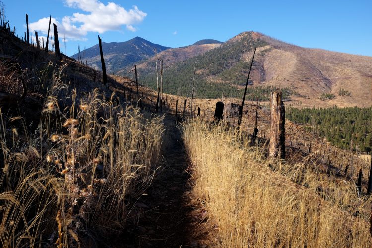
Area reopened after the fire this summer. Start Here (35.28006, -111.58584):
Tag: Flagstaff
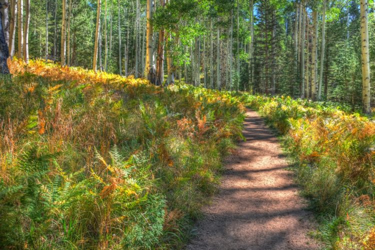
Kachina Trail
The beginning of fall in the northland. Start Here: 35.32746, -111.71142
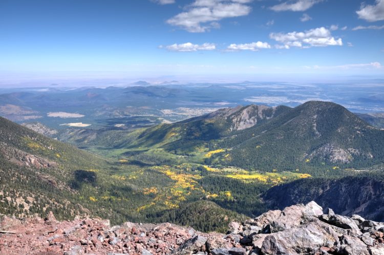
Humphrey’s Trail
Had to burn some PTO before the end of the fiscal year. Start/Park Here GPSCOORDS: (35.33062, -111.71174)
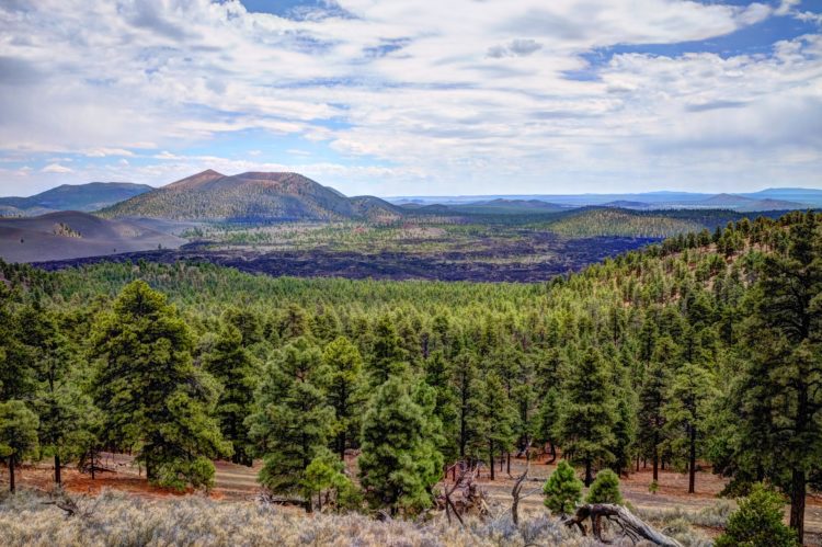
O’Leary Peak
Not as crowded as I imagined. This trail was still open. Most of the area around the San Francisco peaks is closed. Forest Service Link Start Hiking Here ( 35.37178, -111.54131 ):
Sitgreaves
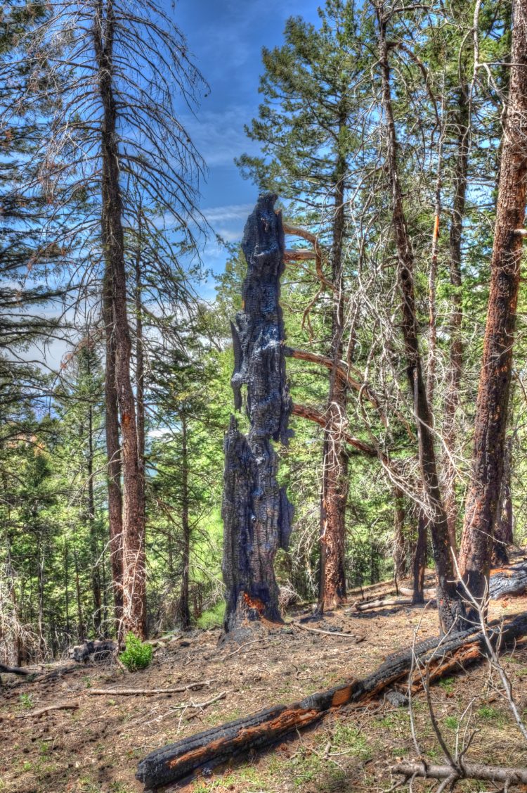
I’d been wanting to tackle this peak for a few years. Finally, we wandered up to the peak. Wow was it steep. It looks like this The new growth was pretty. Lots of trees had…
Sandy’s Canyon
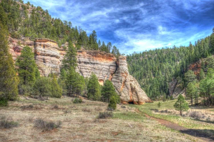
Hiked up to Fisher Point from Sandy’s Canyon. Here is a view from Fishers Point. Start/Park Here 35.12292, -111.59889:
Keyhole Sink
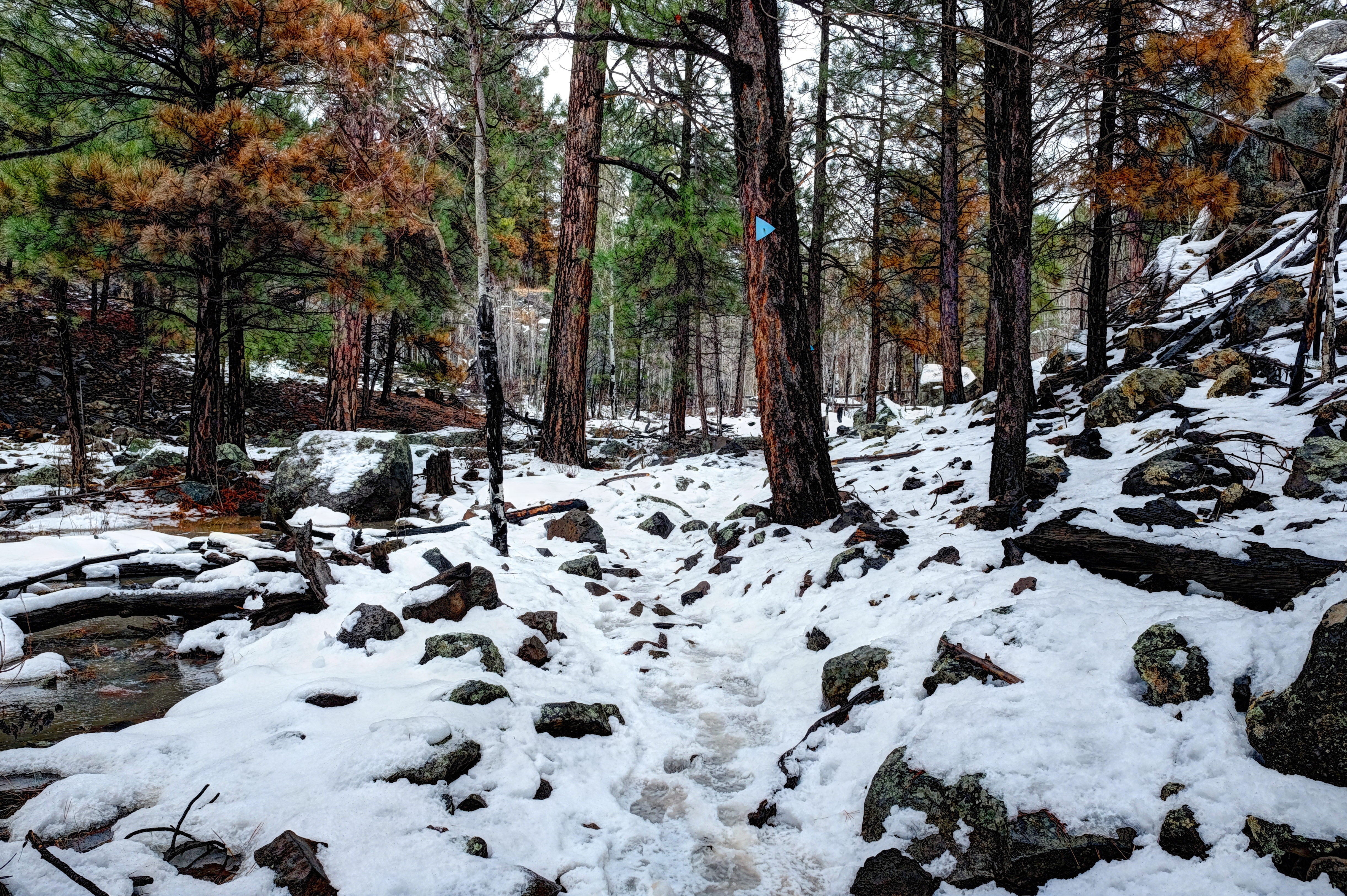
Keyhole Sink This is a neat and short trail just west of Parks, AZ.
Humphreys Peak
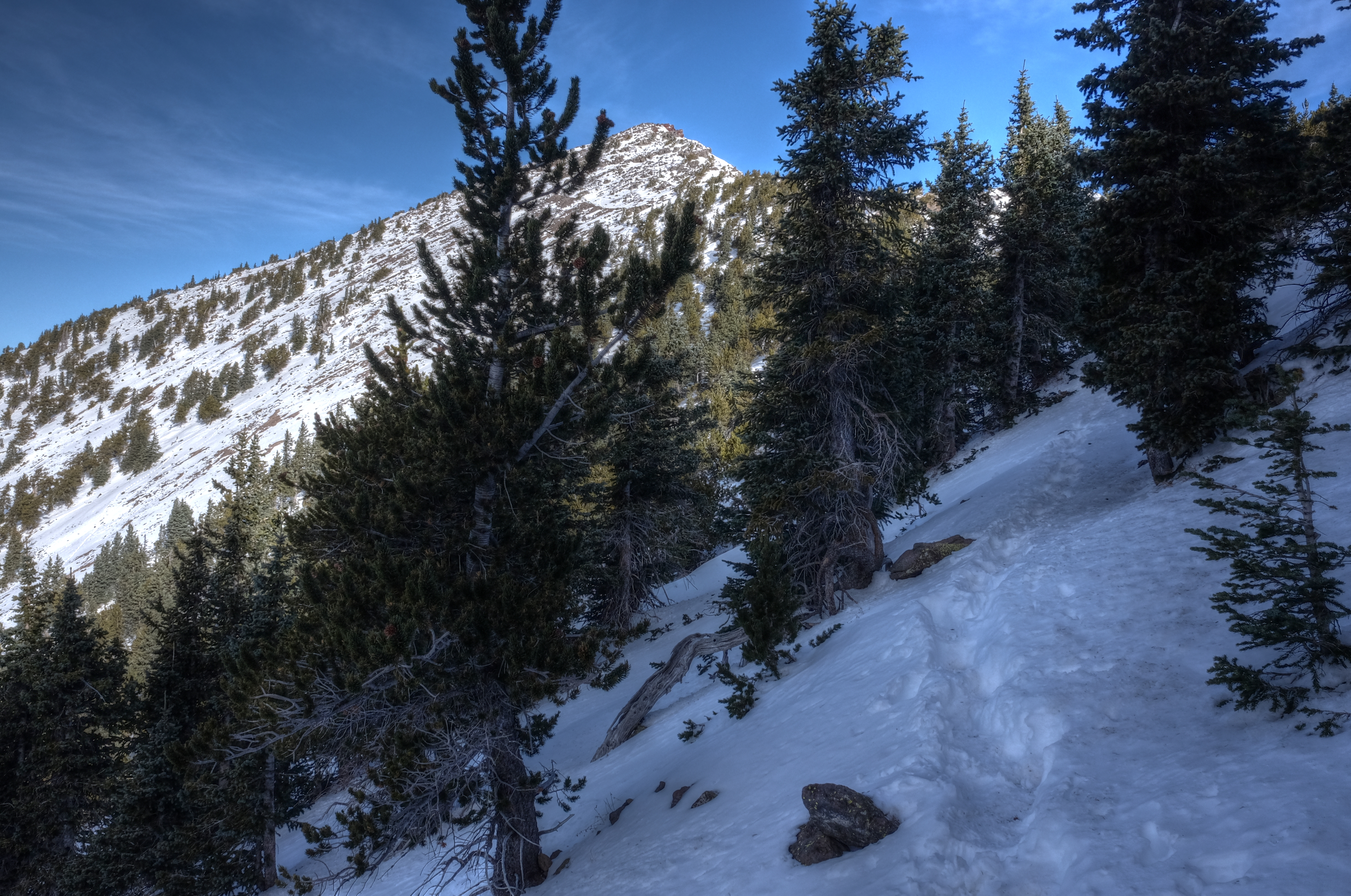
Humphreys Peak Yep, a day that demanded ice cleats.
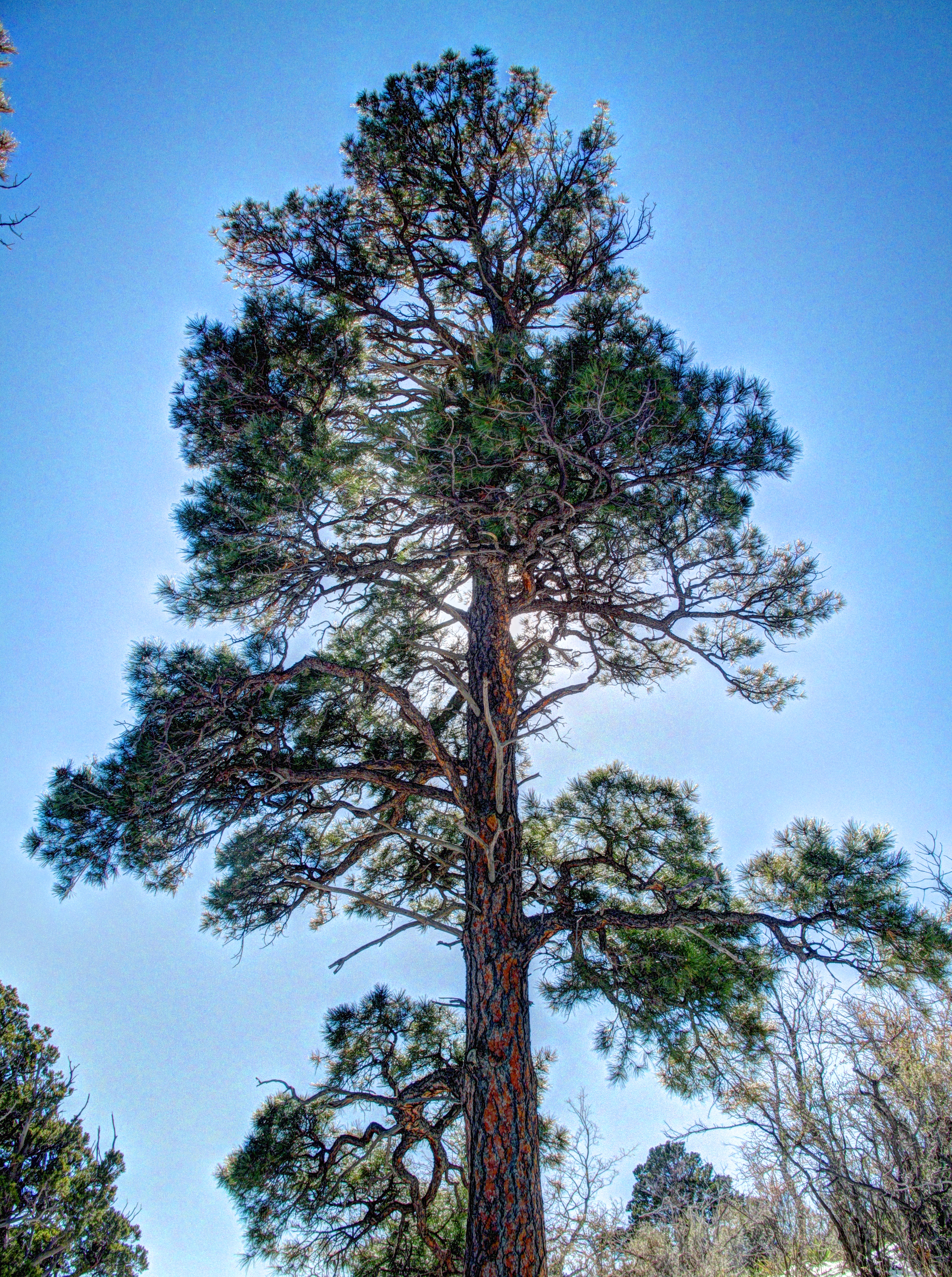
Elden lookout trail
Elden lookout trail Stomping up Elden before all the ice and snow disappears.
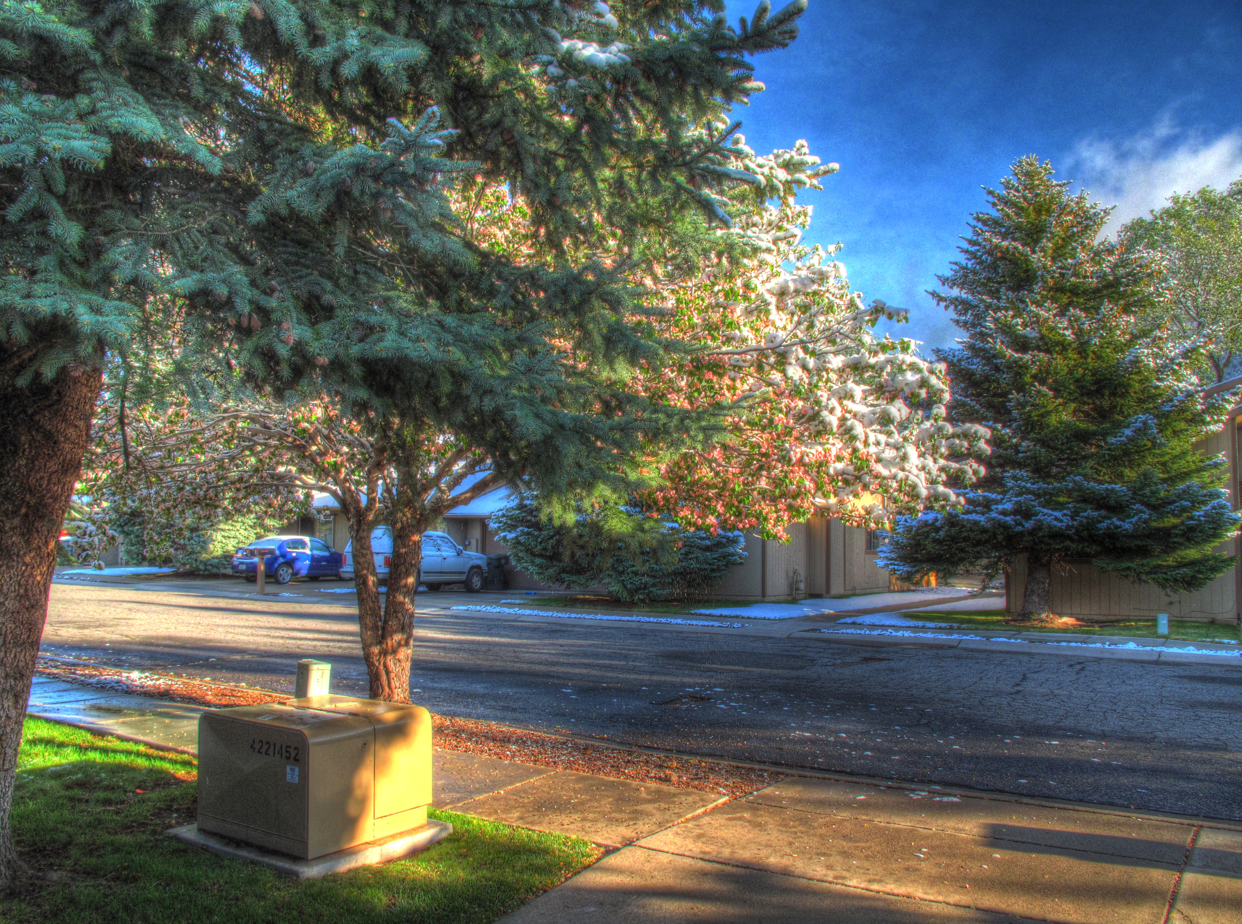
May Snow
May Snow in Flagstaff It usually snows on NAU graduation day. It is a really neat coincidence. Four inches at the airport this morning.
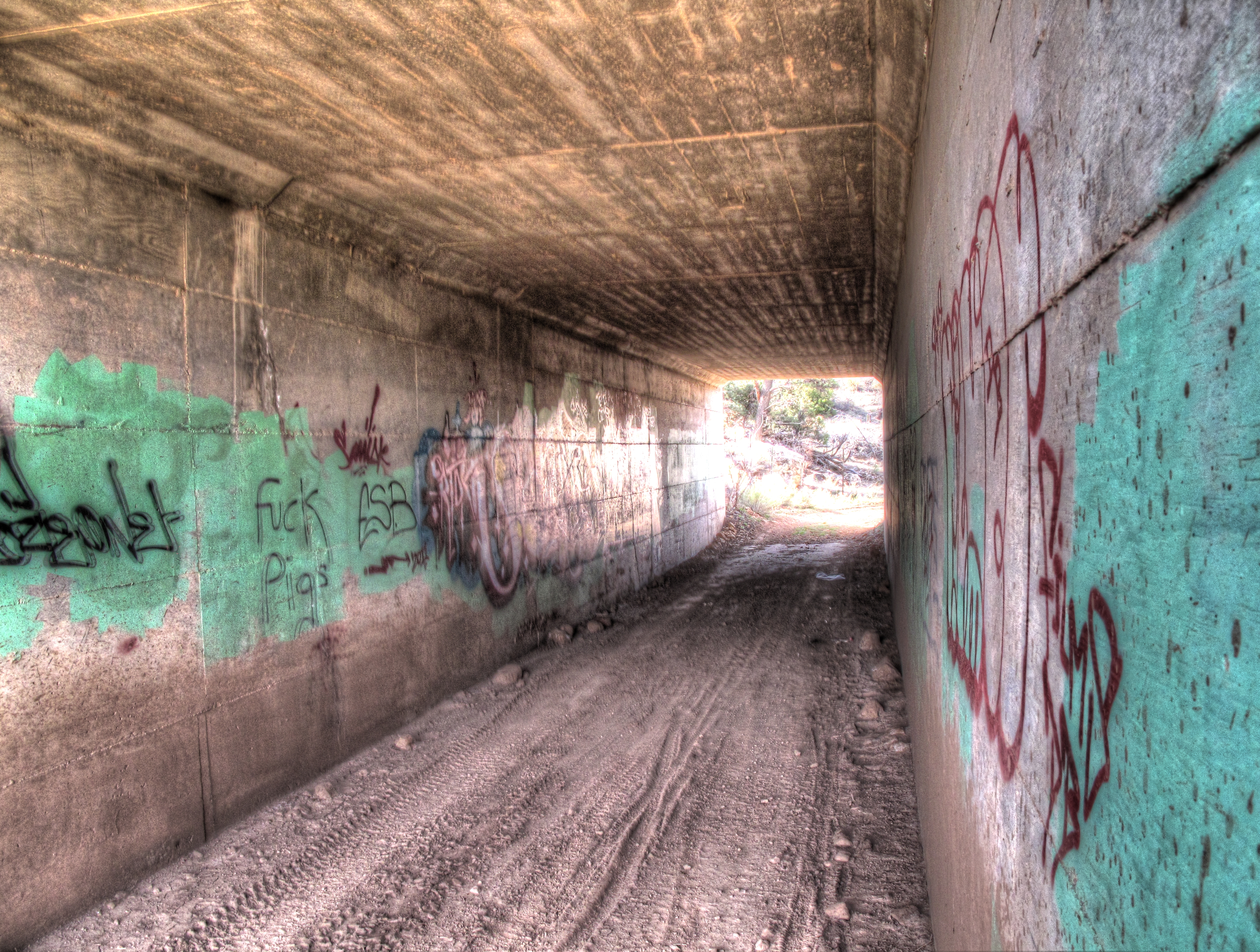
Az Trail near Turkey and Sheep Hills
Az Trail near Picture Canyon, Turkey Hills and Sheep Hill I hiked a segment of the Arizona trail which spans from I-40 to 89A. It skirts the Turkey Hills, Picture Canyon, Sheep hill and the…
