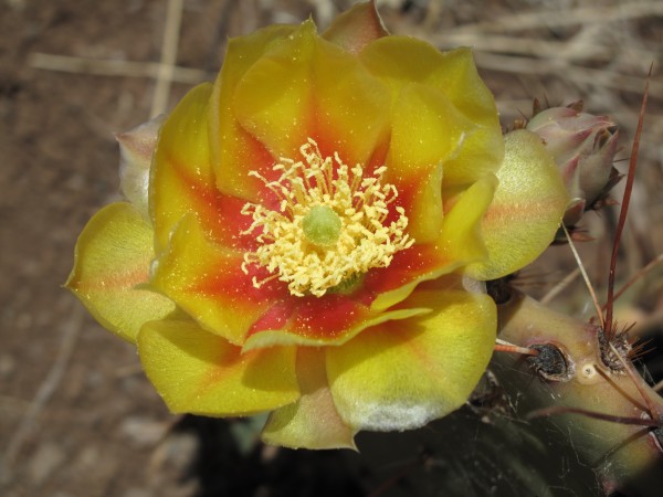
Apache Maid This trail branches off of the Bell Trail. It is east of the White Mesa Trail. The day was pretty windy but cool.
Tag: Sedona
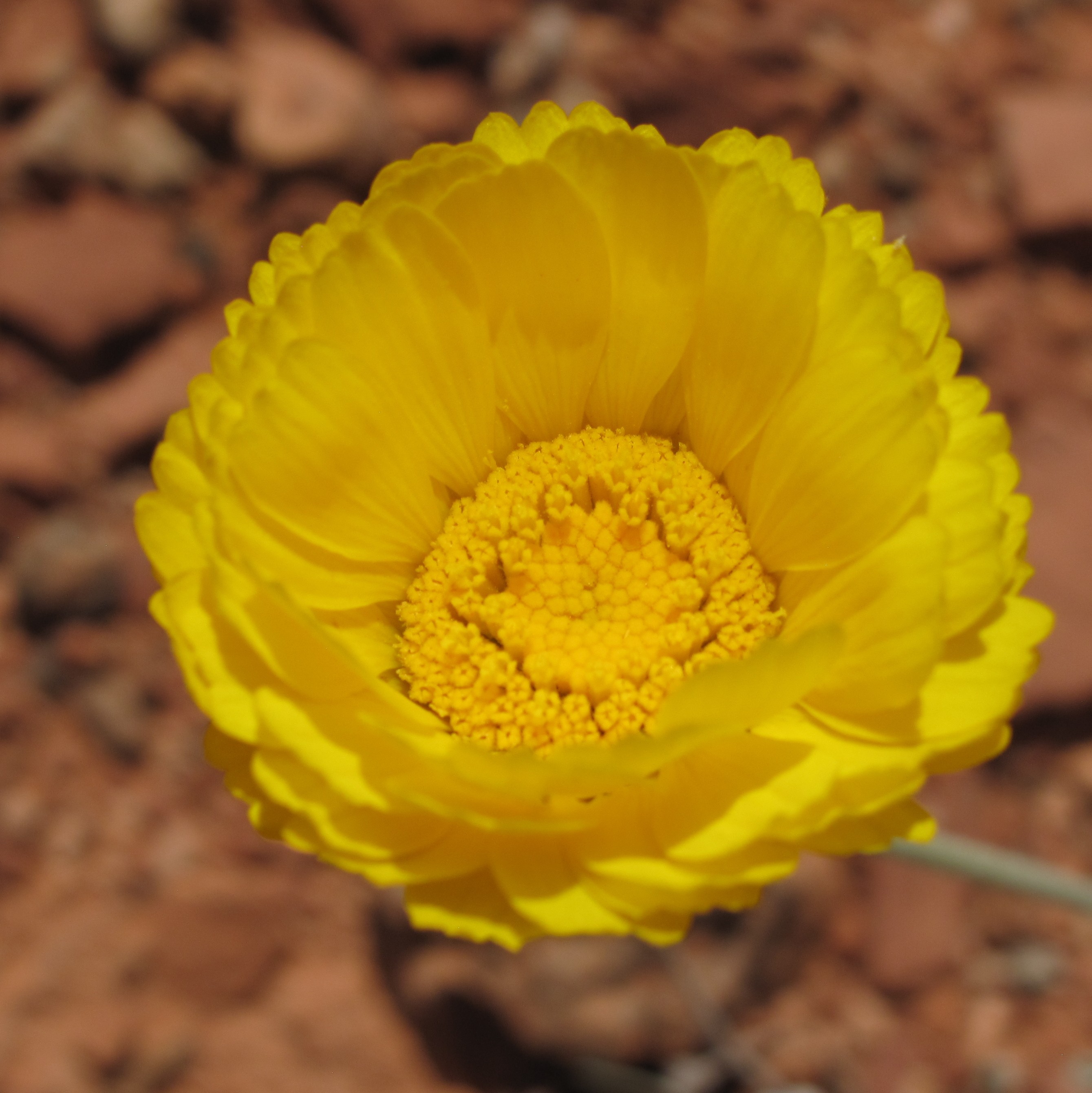
Woods Canyon
Woods Canyon A short stroll up Woods canyon.
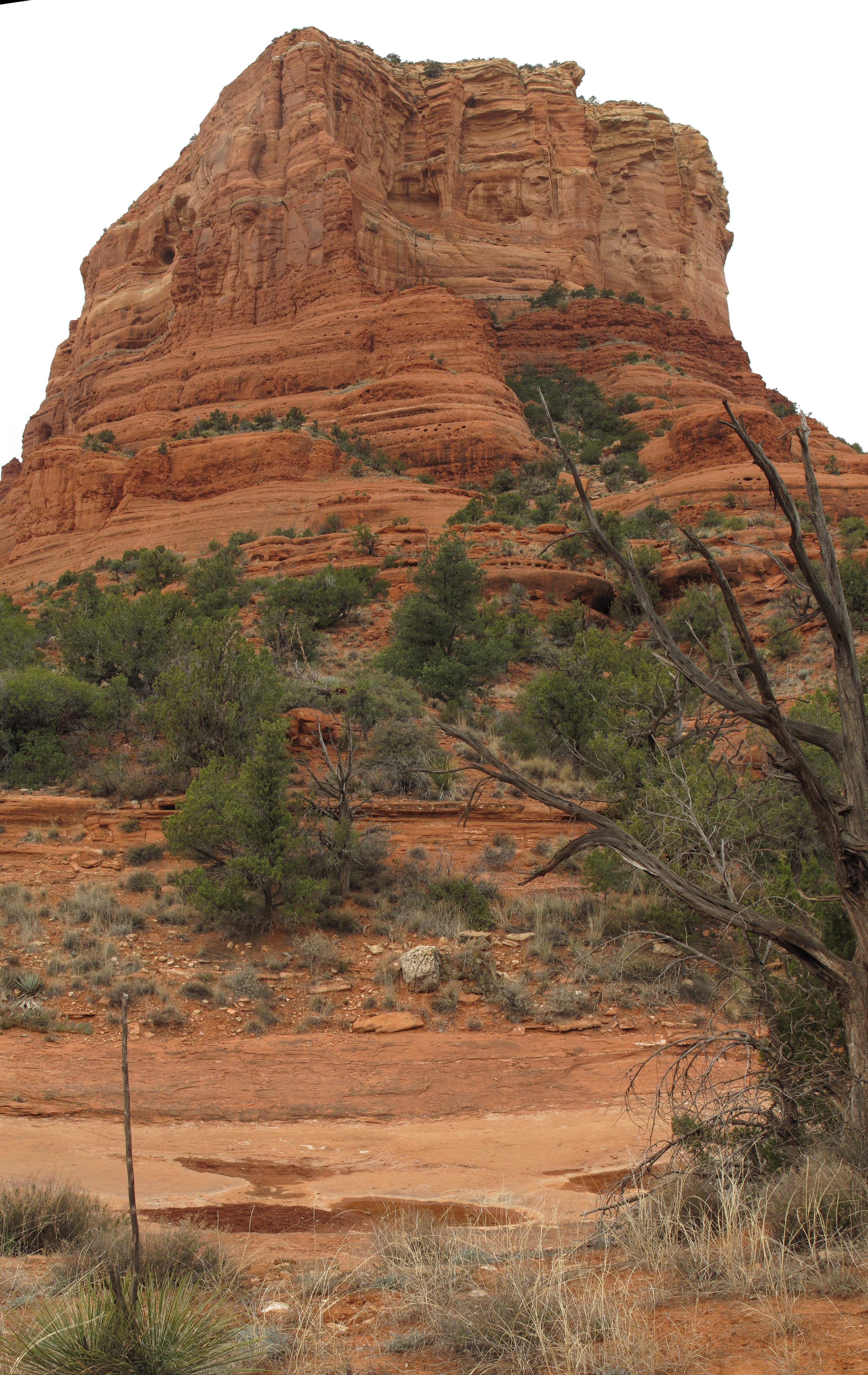
Bell Rock Loop
Bell Rock Loop A gray day, but nice and cool. Took a short walk around Bell Rock.
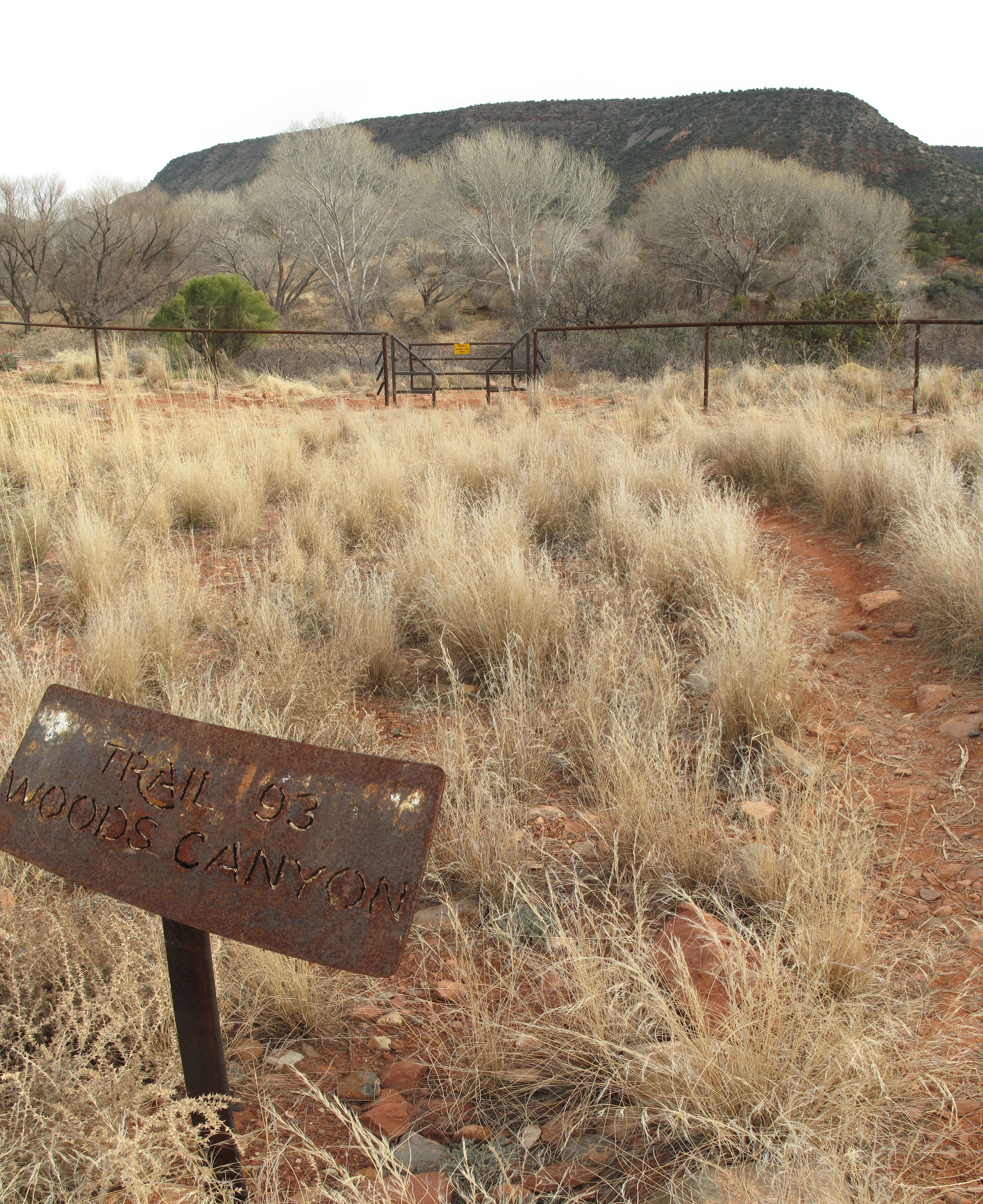
Woods Canyon
Woods Canyon South of Sedona, this is nice trail. Walked up about 3 miles. It was a hazy day. 5.7 miles from I17 on 179. Or 1.4 miles from Jacks Canyon road driving south on…
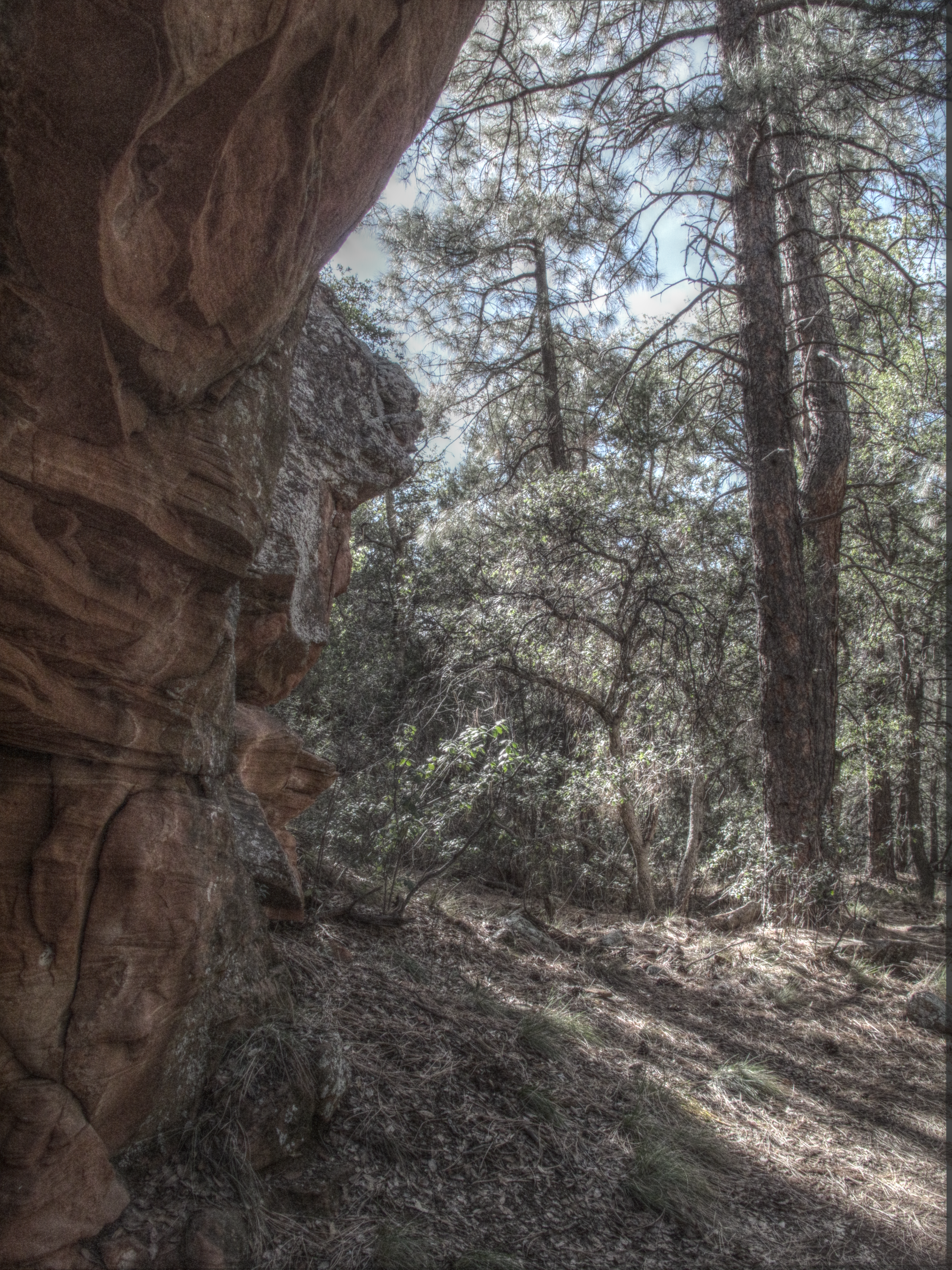
Loy Canyon
Loy Canyon [portfolio_slideshow id=1145] Went back to Loy canyon. This time, we went up to the top of the canyon. The last part of the trail was pretty unused.
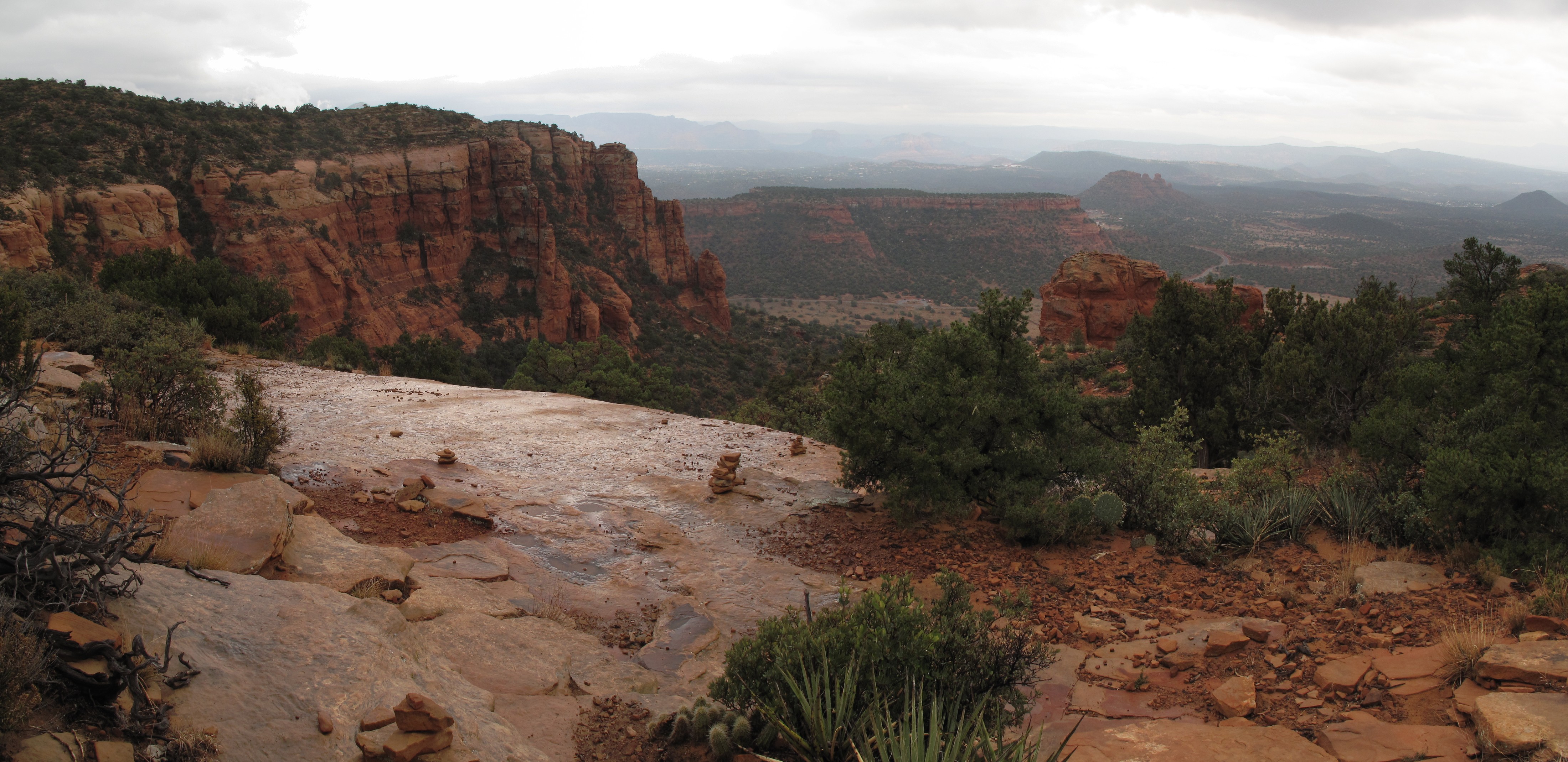
Bear Mountain
Bear Mountain [portfolio_slideshow id=1107] Rain was off and on. It was cold at the top. The views were still incredible. The mists weaving through the various buttes/mesas were amazing. Looking east toward Sedona. Just beginning…
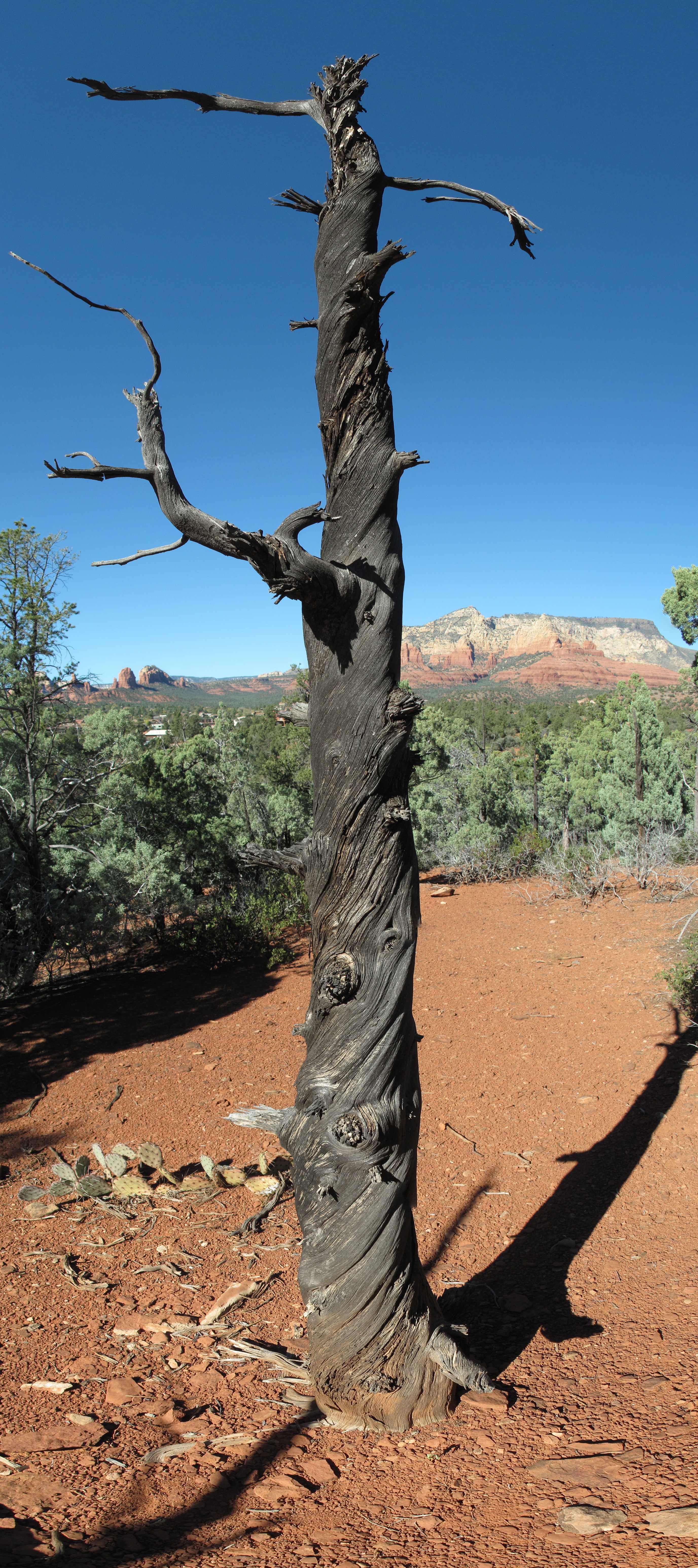
Marg’s Draw
Marg’s Draw [portfolio_slideshow id=1081] Wow was the sky blue out in Sedona today.
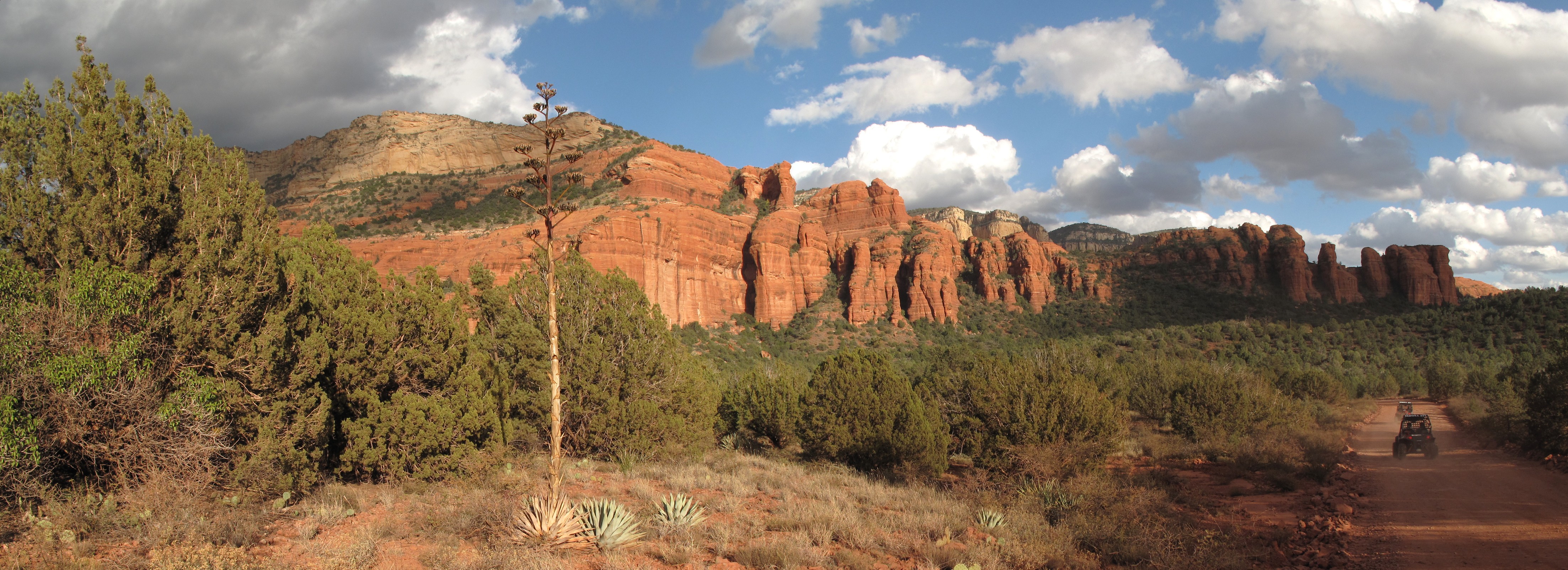
Loy Canyon
Loy Canyon [portfolio_slideshow id=1072] Took a look at Loy Canyon before the weather changes.
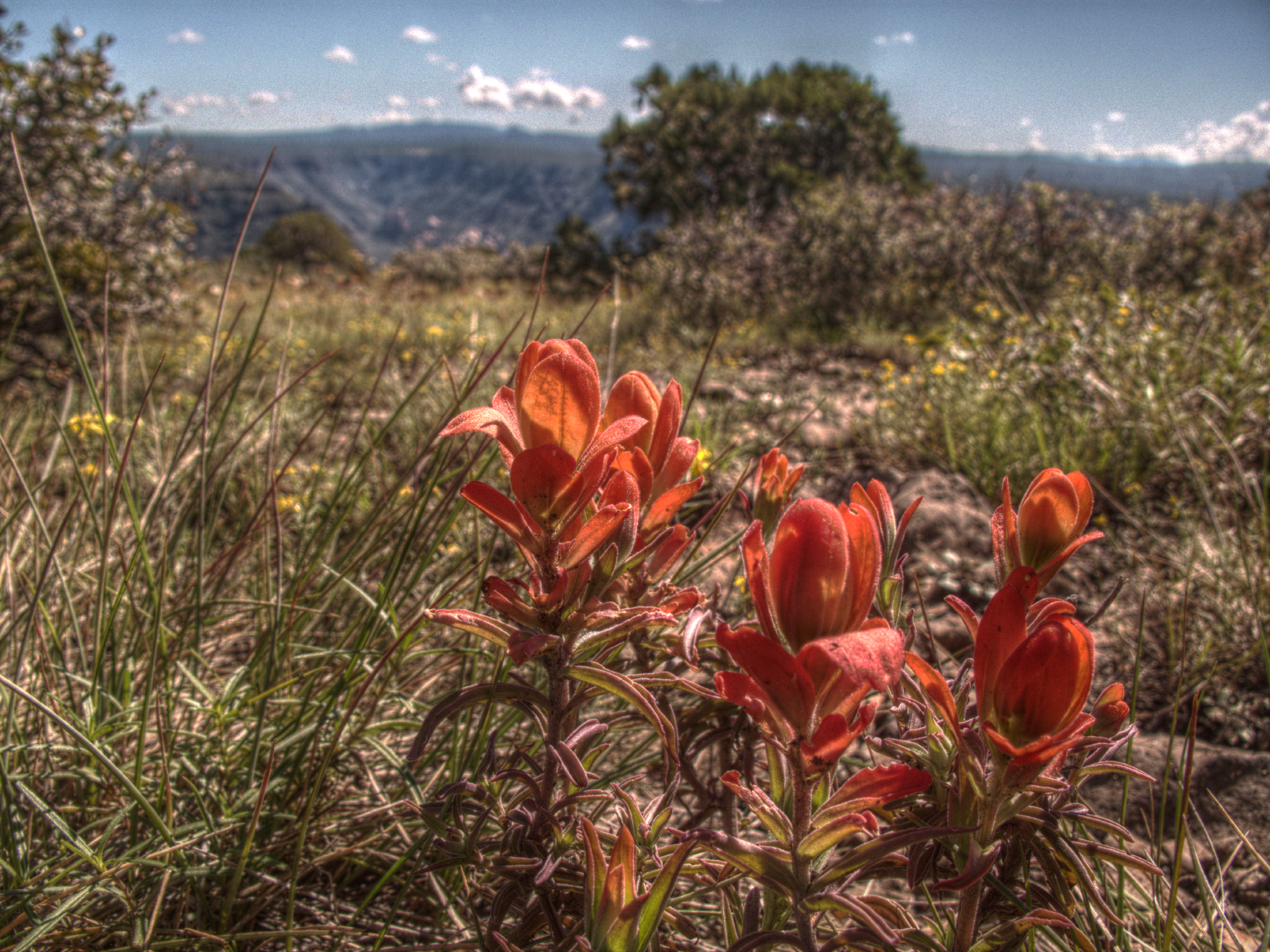
Wilson Mountain
Wilson Mountain Woot! was it hot. I had not anticipated it being this warm. Drained the water bottles etc. Full 360 with a polarizer filter. Start/Park Here: (34.92490, -111.73556)
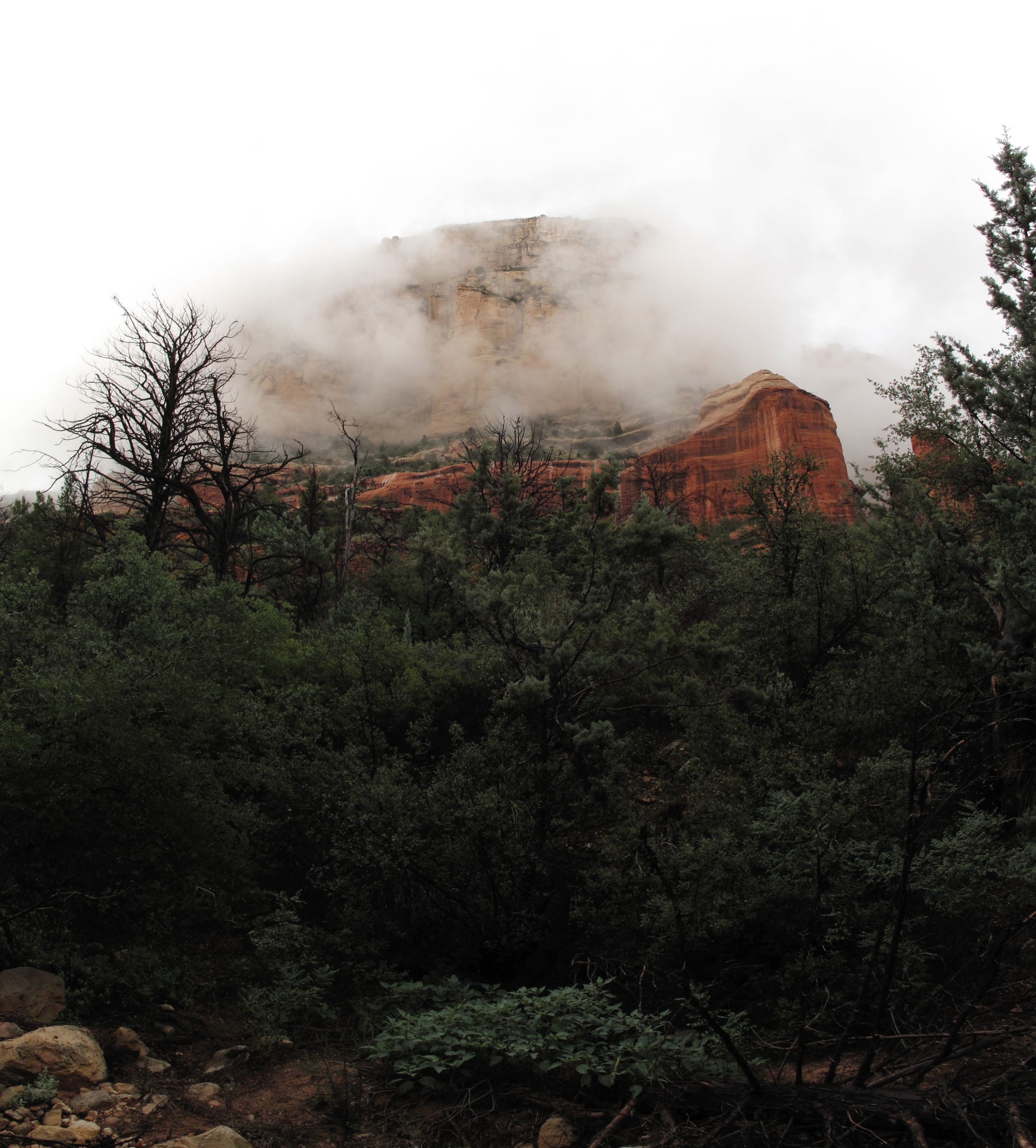
Long Canyon
A really wet day for a hike. Well, at least it kept the temperature down. Start/Park Here: (34.92490, -111.73556)
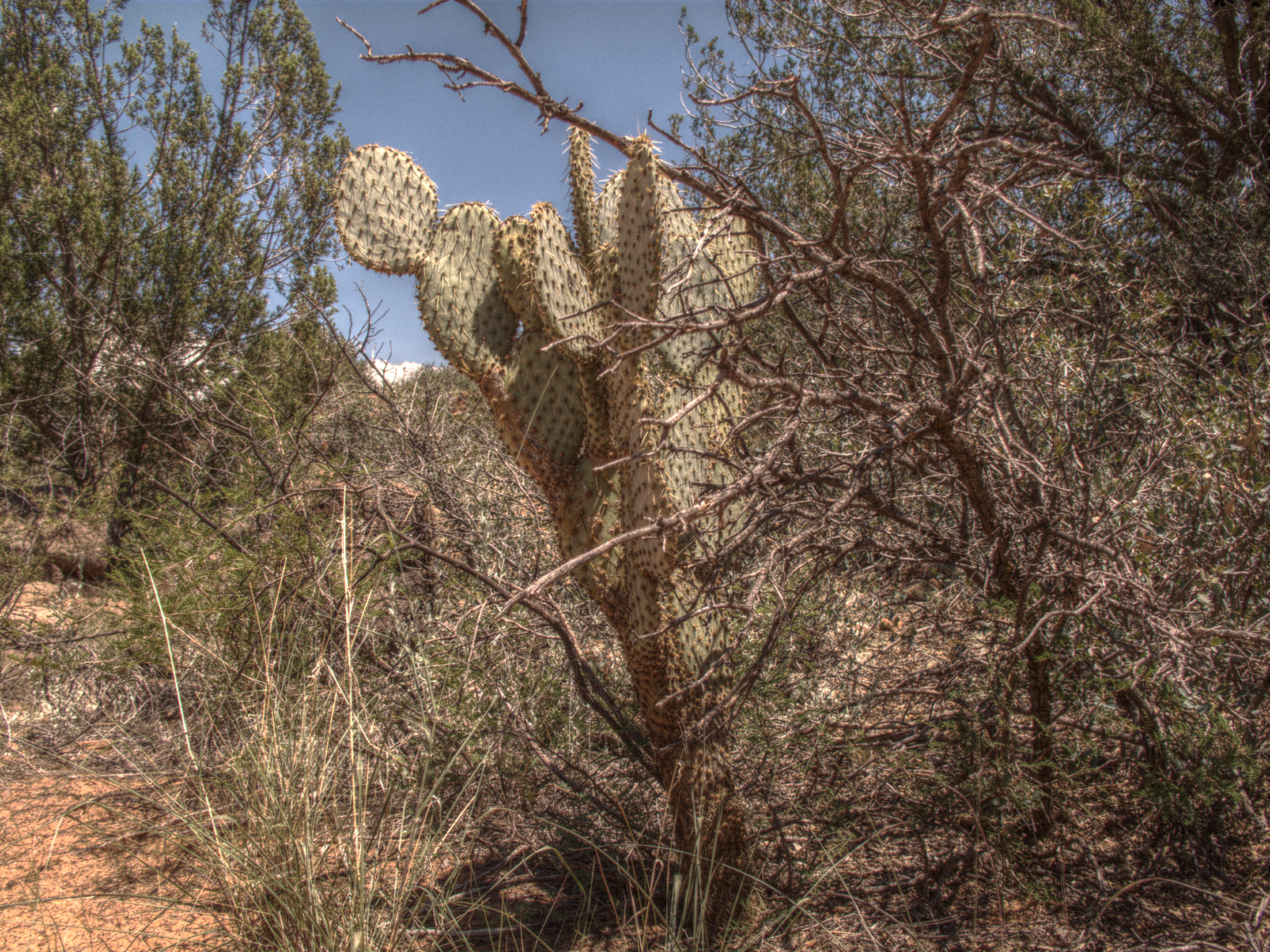
South of Casner Mountain
South of Casner Mountain We hiked around the base of Casner. We then went up the road/trail that follows the power line for about half a mile.
